
Drive
Chandigarh to Kasol
by Car
280 km · 8-9 hours drive · cab from ₹3,300
Distance
280km
Drive Time
8hrs
Highway
NH-21 via Mandi & Bhuntar
Cab From
₹3,300
What are the road stages from Chandigarh to Kasol?
| Road stage | Distance (km) | Drive time | Road quality |
|---|---|---|---|
| Chandigarh to Bilaspur | 100 | 2.5 hrs | Good |
| Bilaspur to Mandi | 80 | 2 hrs | Moderate |
| Mandi to Bhuntar | 50 | 1.5 hrs | Moderate |
| Bhuntar to Kasol | 30 | 1.5 hrs | Poor |
How far is Kasol from Chandigarh by car?
Kasol is approximately 280 km from Chandigarh by road, a drive of about 8-9 hours depending on traffic and stops. The recommended vehicle is a SUV (Innova/Ertiga), and a one-way AC cab starts at ₹3,300 (sedan), ₹4,500 (SUV), or ₹6,900 (tempo). Toll and state tax are extra. Start by 5-6 AM for the smoothest run.
Heading to Kasol from Chandigarh? Cover the 280 km stretch in approximately 8-9 hours on NH-21 via Mandi & Bhuntar. Pick the SUV (Innova/Ertiga) that fits your party — sedan, SUV or tempo. Fares are fixed and all-inclusive — no surge, no hidden charges.
Your Route
Chandigarh
Kasol
Get Instant Quote
4.9★ Rated · 10,000+ Trips · Instant Confirmation
Segment by Segment
The Road Ahead
4 segments · 280 km total
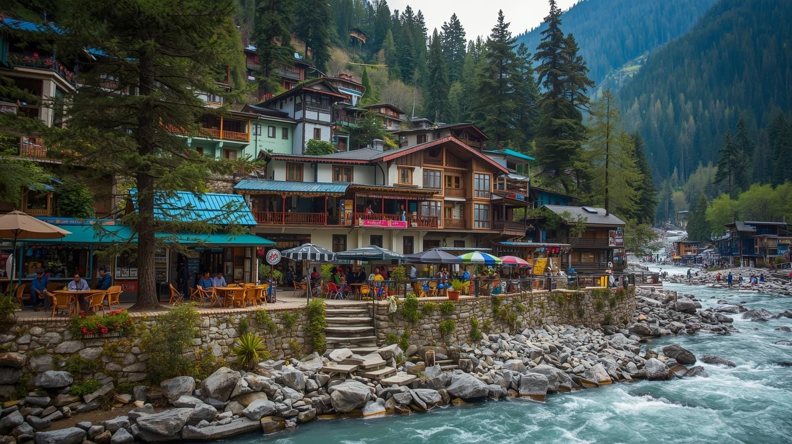
Shivalik mountains, Gobind Sagar Lake
Mountain roads, Pandoh Dam, tunnels
Beas Valley narrowing, Kullu Airport area
Parvati Valley cliff road, river crossings, hippie villages
The drive
What the Chandigarh to Kasol drive is like
NH-21 via Mandi & Bhuntar
Road and surface
Mountain roads throughout. Scenic but slow in some stretches.
When to go
March to June, September to November. Avoid monsoon.
Worth knowing
Kasol is in Parvati Valley. Visit Manikaran Gurudwara and its hot springs (4 km from Kasol).
Book This Route
Chandigarh to Kasol Cab
All-inclusive · No hidden charges
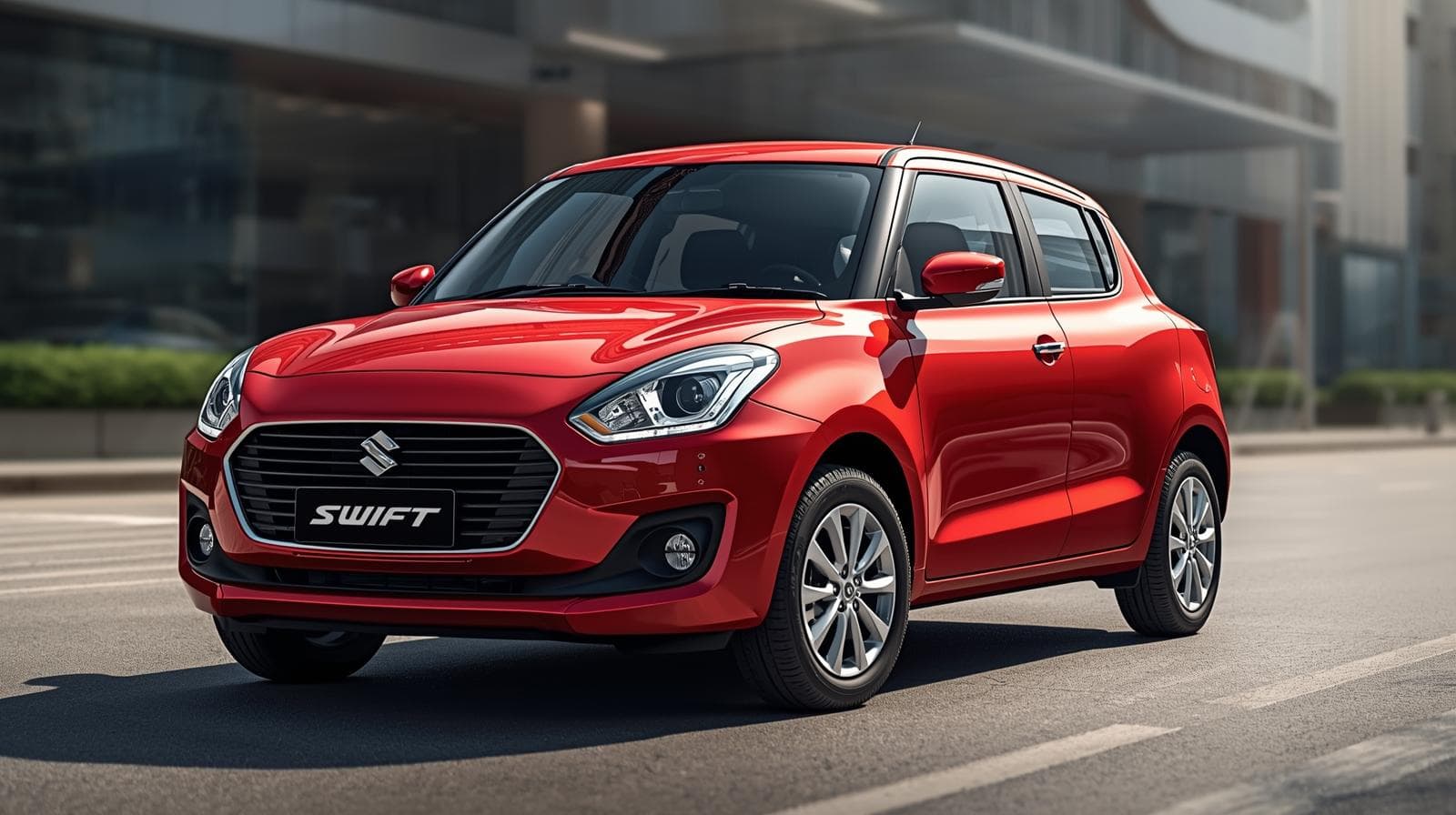
Sedan
Swift Dzire / Etios · 4 Seater
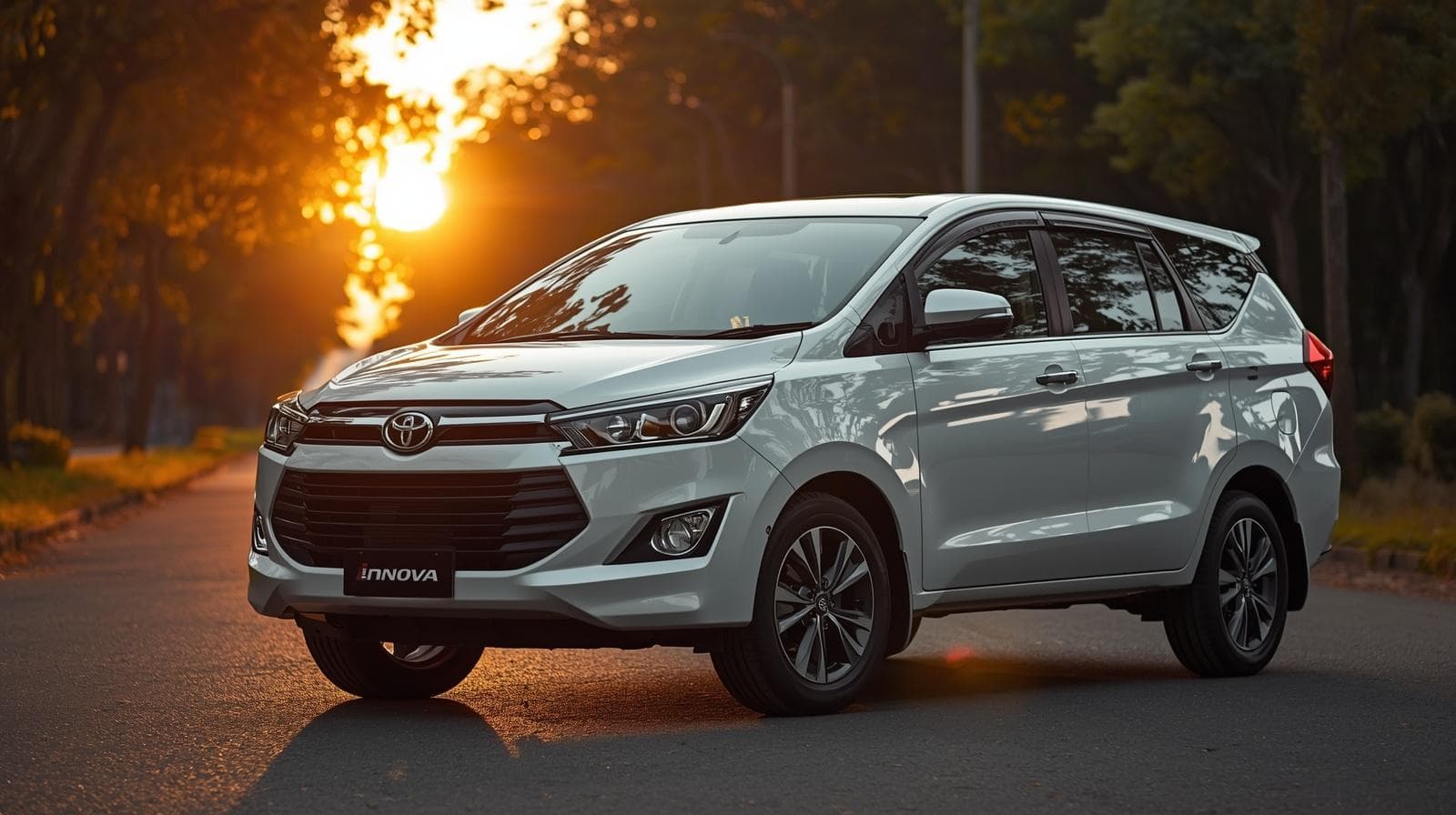
SUV
Innova Crysta / Ertiga · 6-7 Seater
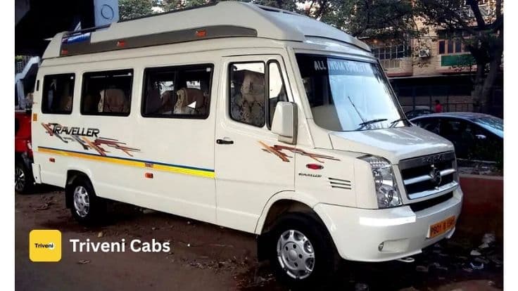
Tempo Traveller
12-Seater AC · 12 Seater
When to Go
Seasonal Road Conditions
Winter Driving Conditions
Dec — Feb
Snow Dec-Feb. Kasol is beautiful but cold. Kheerganga trek closed. Limited guesthouses open.
Driving Tips
The Bhuntar-Kasol road (30 km) is narrow, unpaved in parts, and clings to cliffs — drive extremely slowly
Kasol is a backpacker paradise — Israeli food, trance music, and stunning Parvati River views
Kheerganga hot springs trek starts from Barshaini (15 km beyond Kasol) — plan a full day for it
Mobile network dies after Bhuntar — download everything offline before entering Parvati Valley
Do not park on the narrow Kasol road — there are designated parking areas at both ends of the village
Food Stops
Best Car for This Trip
We recommend SUV (Innova/Ertiga) for the Chandigarh to Kasol drive. On a long climb engine and ground clearance matter more than seat count.
Fuel Planning
4 fuel stations along the route. Limited pumps on parts of this route — fill up at every opportunity.
The Chandigarh to Kasol road trip by the numbers
Distance, driving time, fuel stop counts and indicative fares verified weekly against our drivers' actual route runs.
The single biggest mistake first-time road-trippers make on Delhi–Manali is not stopping at Mandi for lunch. Plan your fuel and food stops in advance — it cuts your real travel time by an hour because you're not hunting for somewhere on the way.
More about driving from Chandigarh to Kasol
How much is a cab Chandigarh to Kasol?
What is the drive time Chandigarh to Kasol?
What is the route Chandigarh to Kasol, stage by stage?
Where are the food stops Chandigarh to Kasol?
How many fuel stations are there on the Chandigarh to Kasol drive?
Does snow close the Chandigarh to Kasol road?
What is the Chandigarh to Kasol drive like in the rains?
Which is the best car for the Chandigarh to Kasol drive?
When is the best time to start Chandigarh to Kasol?
What is the cancellation policy on Chandigarh to Kasol?
Why is a one-way Chandigarh to Kasol cab cheaper?
Verified against these sources
Verified against official tourism, transport and weather data. We refresh these sources quarterly.
- GOVNational Highways Authority of India (NHAI)— official toll plaza, FASTag and national-highway data(nhai.gov.in)
- GOVParivahan Seva (Ministry of Road Transport)— official commercial vehicle permit and tax portal(parivahan.gov.in)
Quick Answer
How far is Kasol from Chandigarh by car?
280 km by road, and 8-9 hours behind the wheel. The route divides into 4 stages, the longest being Chandigarh to Bilaspur at 100 km. The longest stage is not the slowest one: Bhuntar to Kasol covers 30 km in 1.5 hrs, which is where the hours actually go.
FAQ
Chandigarh to Kasol Road Trip FAQs
280 km by road, and 8-9 hours behind the wheel. The route divides into 4 stages, the longest being Chandigarh to Bilaspur at 100 km. The longest stage is not the slowest one: Bhuntar to Kasol covers 30 km in 1.5 hrs, which is where the hours actually go.
Bhuntar to Kasol — 30 km graded poor, and 1.5 hrs of the day. Parvati Valley cliff road, river crossings, hippie villages. By contrast Chandigarh to Bilaspur is graded good, so the route is not uniform and planning it as one average speed is how people end up arriving after dark. The road quality on this corridor runs across good, moderate and poor.
Bhuntar to Kasol — 30 km in 1.5 hrs, which is the slowest average on the route. Parvati Valley cliff road, river crossings, hippie villages. Chandigarh to Bilaspur is the longest stage at 100 km and takes 2.5 hrs, so distance and time are not in proportion on this corridor. Knowing which stage is slow is what lets a departure time be chosen properly rather than guessed at.
Yes. 280 km each way at 8-9 hours means roughly 560 km and double that driving time, so a 6 AM departure leaves a useful day at the other end and still gets you home. What it does not leave is slack: add a long lunch and a sightseeing stop and the return runs into the dark. If the day is going to be tight, the stop to cut is the one on the way out rather than the one on the way back — Bilaspur is better on a relaxed return than a rushed start.
Shivalik mountains, Gobind Sagar Lake, Mountain roads, Pandoh Dam and tunnels, among others. These are on the route rather than detours from it, which is the practical distinction — a stop that costs you ten minutes is a different proposition from one that costs an hour each way. Tell the driver in advance which of them you want to stop at and the day gets planned around it instead of around the clock.
The Bhuntar-Kasol road (30 km) is narrow, unpaved in parts, and clings to cliffs — drive extremely slowly. Then: kheerganga hot springs trek starts from Barshaini (15 km beyond Kasol) — plan a full day for it. Then: mobile network dies after Bhuntar — download everything offline before entering Parvati Valley. Then: do not park on the narrow Kasol road — there are designated parking areas at both ends of the village. None of that is generic road-trip advice — it is what the drivers who run this corridor pass on, and the position-specific items are the ones worth reading twice.
The mountain work on this route is a different job from the highway part of it, and we treat it that way: a driver who knows this climb goes on this run. Bhuntar to Kasol is the stage that asks the most of the car and the driver. Lower gears on the descent rather than the brakes, a wider following distance than feels necessary, and a start early enough to finish the climb in daylight. With only 4 fuel stations on the route, the tank gets filled before the hill section rather than in it.
We would rather you did not, and we will say so. The hill section of this route is the part where visibility, unlit edges and oncoming traffic combine badly, and arriving three hours later in daylight is the better trade. If the journey has to run into the night, it runs with the night allowance for the driver and a start time chosen so the climb is behind you before dark. A driver asked to do 280 km on no sleep is the single worst risk on any booking, and we do not take it.