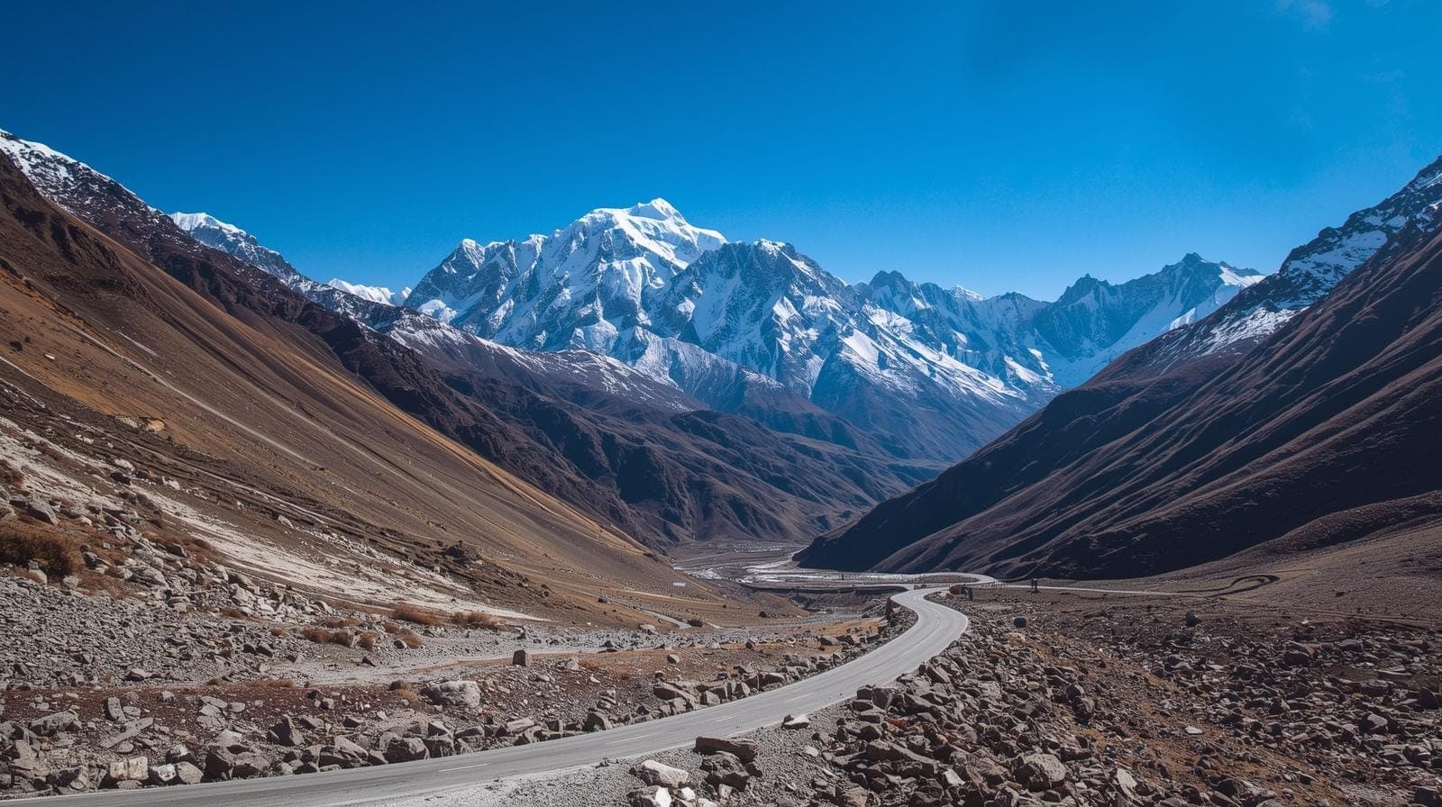
Spiti has two roads in, and they decide the trip more than the vehicle does. The Shimla and Kinnaur road runs on NH-5 through Chandigarh, Shimla, Narkanda, Rampur, Reckong Peo, Nako and Tabo to Kaza: 730 km by our Kaza guide, eighteen to twenty hours of driving spread over two days with a night at Kalpa or Nako, and open for most of the year. The Manali road is about the same length, 530 km to Manali and another 200 km through the Atal Tunnel and over Kunzum La at 4,551 m, but it climbs to Kaza's 3,800 m far more steeply and is usually open only from June to mid-October. The bus goes as far as Shimla or Manali on ordinary highways; beyond that, as our bus page says, only the smallest buses attempt the road and most groups switch to Tempo Travellers or SUVs. A cab does the whole thing, and the standard car for it is the Innova Crysta at ₹18/km. The Kaza road guide walks both roads stop by stop; the Delhi to Spiti bus page covers the group option.
The two roads compared
| Question | Shimla and Kinnaur road | Manali and Kunzum road |
|---|---|---|
| Distance from Delhi | 730 km | About 730 km: 530 to Manali, 200 to Kaza |
| Days | Two, with a night at Kalpa or Nako; three for families | Two, with a night at Manali; the Manali to Kaza day is 8 to 10 hours |
| Usually open | Most of the year | June to mid-October, when Kunzum La is clear |
| Highest point | Nako at about 3,600 m before Kaza | Kunzum La at 4,551 m |
| How the altitude is gained | Over two days and thirty-six hours | Two and a half thousand metres in a single day |
| Surface | Tarmac to Reckong Peo, rough with loose rock beyond | Tarmac to the tunnel; unpaved with stream crossings from Chhatru to Losar |
| Vehicle | Innova Crysta or a proper SUV; a sedan not recommended beyond Peo | Innova Crysta or a proper SUV; Tempo Traveller for groups, slowly |
Every figure in the table is from our Kaza guide and the Delhi to Kaza distance page behind it. Our bus page counts the corridor at 670 km and eighteen to twenty hours, the difference being where the route is measured to; the guide's 730 km to Kaza is the figure we bill on.
How the Shimla and Kinnaur road works, in order
- Delhi to Chandigarh, 250 km. NH-44 through Murthal, Panipat and Karnal, the flattest and fastest road of the trip, worth being on before six. Breakfast on the Zirakpur bypass.
- Chandigarh to Shimla, to 350 km. NH-5 climbs from Parwanoo; the Shimla bypass keeps you clear of the town at about 2,200 m.
- Shimla to Narkanda, to 415 km. East along the ridge through Kufri, Fagu and Theog to Narkanda at about 2,700 m, the high point of day one and the lunch halt, because the road now drops nearly two thousand metres to the Sutlej.
- Narkanda to Rampur, to 480 km. Down into the river valley at about 1,000 m; Rampur is the last proper town before Kinnaur and the last place to buy anything forgotten.
- Rampur to Reckong Peo, to 560 km. Up the Sutlej through Jeori, Jhakri and the Wangtu gorge, where the road is cut into the rock face. Sleep at Kalpa, seven kilometres above Peo at about 2,960 m; fill the tank at Peo. Day one is thirteen to fourteen hours with halts.
- Peo to Nako, to 640 km. Past Spillow and Pooh, the Spiti meets the Sutlej at Khab, and a long set of hairpins climbs to Nako at about 3,600 m, the alternative night halt.
- Nako to Tabo to Kaza, to 730 km. Sumdo is the check post where Kinnaur ends and Spiti begins: Indian nationals show identification, foreign nationals show the Inner Line Permit. Tabo's thousand-year-old monastery is an hour's stop; Kaza, at about 3,800 m, is reached mid-afternoon on day two.
The guide's reason for recommending this road up is not the surface or the distance but the altitude: sleeping at Kalpa or Nako after a full day and only then going on to Kaza spreads the gain over thirty-six hours, which is roughly what the standard advice on acclimatisation asks for. The three-day version, with a night at Shimla or Narkanda first, costs one more night and nothing in fare, because the 300 km per day minimum is already exceeded by the distance.
How the Manali and Kunzum road works, in order
Delhi to Manali is 530 km and twelve to thirteen hours on NH-44 and NH-21 through Chandigarh, Bilaspur and Mandi, with the night at Manali at about 2,050 m. The next morning the road goes through the Atal Tunnel into Lahaul, up the Chandra valley on the unpaved section through Chhatru and Batal, where the stream crossings need the clearance of an Innova or a proper SUV, and over Kunzum La at 4,551 m, marked by the chortens and prayer flags where drivers stop to circle the shrine. From the top it drops to Losar, the first village of Spiti at about 4,080 m, and from Losar a tarred road of about fifty-seven kilometres runs down the valley to Kaza. The whole Manali to Kaza stretch is about 200 km and eight to ten hours, nearly all of it on the unpaved section, and it gains two and a half thousand metres in a day, which the distance page names as the main cause of altitude sickness on the route.
That is why the guide's plan is to go up the Shimla side and come back over Kunzum when it is open, giving the loop six to eight days. Kunzum La is usually clear from June to mid-October; outside those months the Manali road is closed and the Shimla road is the only one. The Inner Line Permit that foreign nationals need for the Kinnaur side is issued by the district administration; the guide describes it as a check-post formality for Indian nationals with identification, and this page gives no fee because none is fixed here.
Bus or cab: what each actually does
The bus does the highways. Our bus page is plain about the rest: Delhi to Shimla or Manali follows standard highways, but beyond them the Spiti roads are among the most challenging in the country, narrow, unpaved, with river crossings and altitudes above 4,000 m, and only buses up to 20 to 22 seats can attempt the route, with restrictions even on those; most groups use Tempo Travellers or SUVs beyond Shimla or Manali, and road conditions change rapidly with the weather. A bus trip to Spiti is therefore really a bus to Shimla or Manali and a smaller vehicle from there, with the halts the bus page lists: Chandigarh, Shimla or Manali, Narkanda or Keylong, Kalpa or Sarchu, then Kaza.
A cab does the whole road with one driver who knows it, chooses the halts around the altitude, and waits at Kaza for the days in the valley: Key monastery, Kibber, Langza, Dhankar and, when Kunzum is open, Chandratal on the way out. For two to six people that is the simpler trip; for a group of eight to twelve, a 12-seater Tempo Traveller at ₹23/km does the same road more slowly on the unpaved sections. On the rate card the two-day one-way drive of 730 km bills its distance: an Ertiga or SUV ₹10,950 at ₹15/km, an Innova Crysta ₹13,140 at ₹18/km and a Tempo Traveller ₹16,790 at ₹23/km; a sedan would be ₹8,030 at ₹11/km but is not recommended beyond Reckong Peo. A seven-day loop via Manali bills the daily minimum, because seven days at 300 km is more than the loop's distance: ₹31,500 for the Ertiga, ₹37,800 for the Innova Crysta and ₹48,300 for the Tempo Traveller, with tolls, the tunnel toll, parking and the driver's night halts at actuals. The Delhi to Manali one-way cab is the booking for the Manali-side start.
Frequently Asked Questions
Which road into Spiti should I take?
Up the Shimla and Kinnaur road, sleeping at Kalpa or Nako, and back over Kunzum La when it is open. The reason is altitude: the Shimla side gains it over two days, the Manali side in one.
Is the Manali to Spiti road open all year?
No. Kunzum La is usually clear from June to mid-October; outside that window the Manali road is closed and the Shimla road is the only way in.
Can I take a bus to Spiti from Delhi?
To Shimla or Manali, yes. Beyond them only the smallest buses attempt the road, and most groups switch to Tempo Travellers or SUVs, as our bus page says.
Read next: Spiti Valley by Bus: Adventure Guide 2026- Route, Cost& Tips