
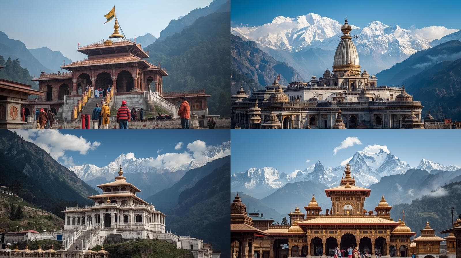
The Char Dham circuit by car:twelve days, four shrines, two walks
The Char Dham is four shrines in the Garhwal Himalaya, and two of them cannot be driven to. Yamunotri is a 6 km walk from Jankichatti; Kedarnath is 16 km from Gaurikund, which is a full day up and a full day down. The traditional west-to-east order — Yamunotri, Gangotri, Kedarnath, Badrinath — is also the order the roads support, and twelve days is the shortest honest circuit that does all four without rushing the walks. About 1,600 km of driving from Haridwar and back. A sedan bills ₹39,600 for the twelve days on the 300 km per day minimum; an Innova Crysta ₹64,800.
Updated · Fares from the published rate card, Sedan ₹11/km to Tempo ₹23/km
- The circuit
- 12 days · ~1,600 km
- Shrines reachable by road
- 2 of 4
- The long walk
- Kedarnath, 16 km each way
- Sedan, 12 days
- ₹39,600
Two things decide a Char Dham trip and neither is distance. The first is that the shrines open and close with the season — roughly late April or early May on Akshaya Tritiya, and closing around Diwali in late October or November. Outside that window the roads carry snow and the temples are shut; the deities are moved to their winter seats at Kharsali, Mukhba, Ukhimath and Joshimath.
The second is the walking. Gangotri and Badrinath have road right up to the temple. Yamunotri is a 6 km climb from Jankichatti, which most people manage in two to three hours with ponies and palanquins available. Kedarnath is 16 km from Gaurikund with a 1,500 metre gain, which is a full day in each direction, and the helicopter from Phata or Sersi is what a great many families use instead.
The circuit below is the traditional order and the one our drivers run. Fares follow the published rate card — sedan ₹11/km, Ertiga or SUV ₹15/km, Innova Crysta ₹18/km, 12-seater Tempo Traveller ₹23/km — on a 300 km per day minimum, with tolls, parking, Uttarakhand entry and the driver night allowance at actual.
The yatra
The circuit, day by day
West to east, as the roads and the tradition both run. Kilometre marks are cumulative from Haridwar.
- km0
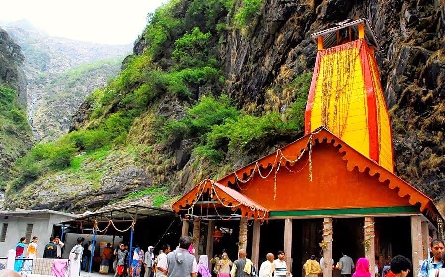 Yamuna valley
Day 1: Haridwar to Barkot
7 hrs · 180 kmUp through Dehradun and Mussoorie, then down into the Yamuna valley to Barkot. Four hours of it is hill road for 180 km, which sets the tone for the whole circuit. Barkot is the staging town for Yamunotri.
Halt: Night: Barkot
- km1806 km walk
Day 2: Yamunotri
Walk day · 90 km drivingDrive 45 km to Jankichatti, then the 6 km climb to the temple — two to three hours up, less down, with ponies and palanquins available at the trailhead. The hot springs at Janki Chatti and the temple itself fill the middle of the day. Back to Barkot for the night.
Halt: Night: Barkot
- km270
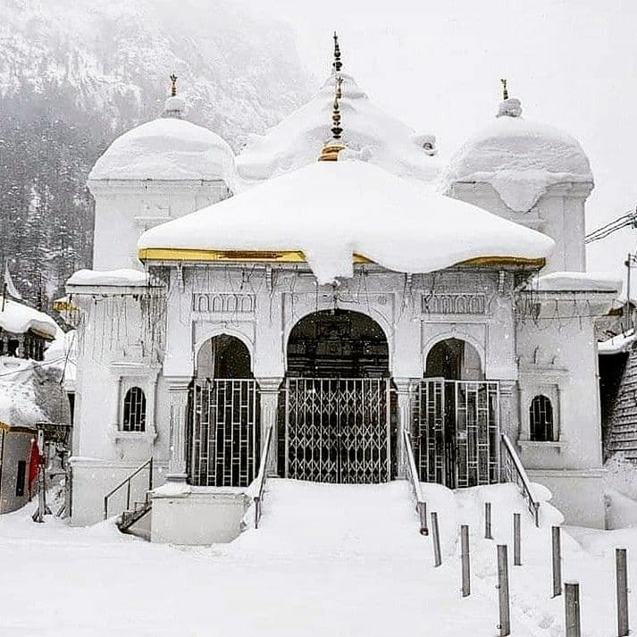 Bhagirathi valley
Day 3: Barkot to Uttarkashi
4-5 hrs · 100 kmEast over the ridge to the Bhagirathi valley and Uttarkashi, which is the staging town for Gangotri and a place worth an afternoon in its own right — the Vishwanath temple and the Nehru Institute of Mountaineering are both here.
Halt: Night: Uttarkashi
- km370Road to the temple
Day 4: Gangotri and back
3 hrs each way · 200 kmThe one shrine with road right to the temple. A hundred kilometres up the Bhagirathi through Harsil and Dharali, three hours each way on a narrow valley road. Gangotri itself is at 3,100 metres and the Bhagirathi here is startlingly loud. Back to Uttarkashi.
Halt: Night: Uttarkashi
- km570
 Longest leg
Day 5: Uttarkashi to Guptkashi
8-9 hrs · 220 kmThe longest driving day of the circuit, down the Bhagirathi to Tehri, across to Srinagar and Rudraprayag, then up the Mandakini to Guptkashi. Leave at six. Guptkashi is the staging town for Kedarnath and where the helicopter bookings are confirmed.
Halt: Night: Guptkashi
- km79016 km walk
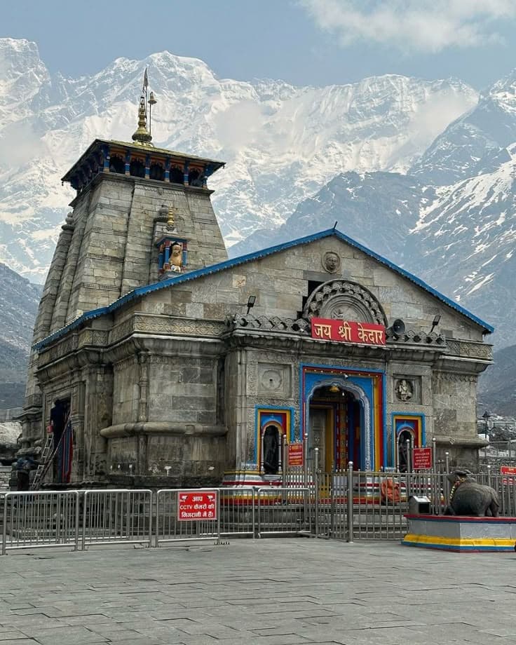
Day 6: Kedarnath, the ascent
Walk day · 30 km drivingDrive 30 km to Gaurikund, then 16 km on foot with a 1,500 metre gain — six to eight hours for most people, with ponies and porters at the trailhead. Those taking the helicopter fly from Phata or Sersi and are at the temple within the hour. Night at Kedarnath.
Halt: Night: Kedarnath
- km820Descent
Day 7: Kedarnath, the descent
Walk dayThe morning aarti, then the 16 km back down to Gaurikund — four to six hours, and harder on the knees than the climb was on the lungs. The car waits at Gaurikund. Night at Guptkashi or Sonprayag.
Halt: Night: Guptkashi
- km850
 Alaknanda
Day 8: Guptkashi to Badrinath
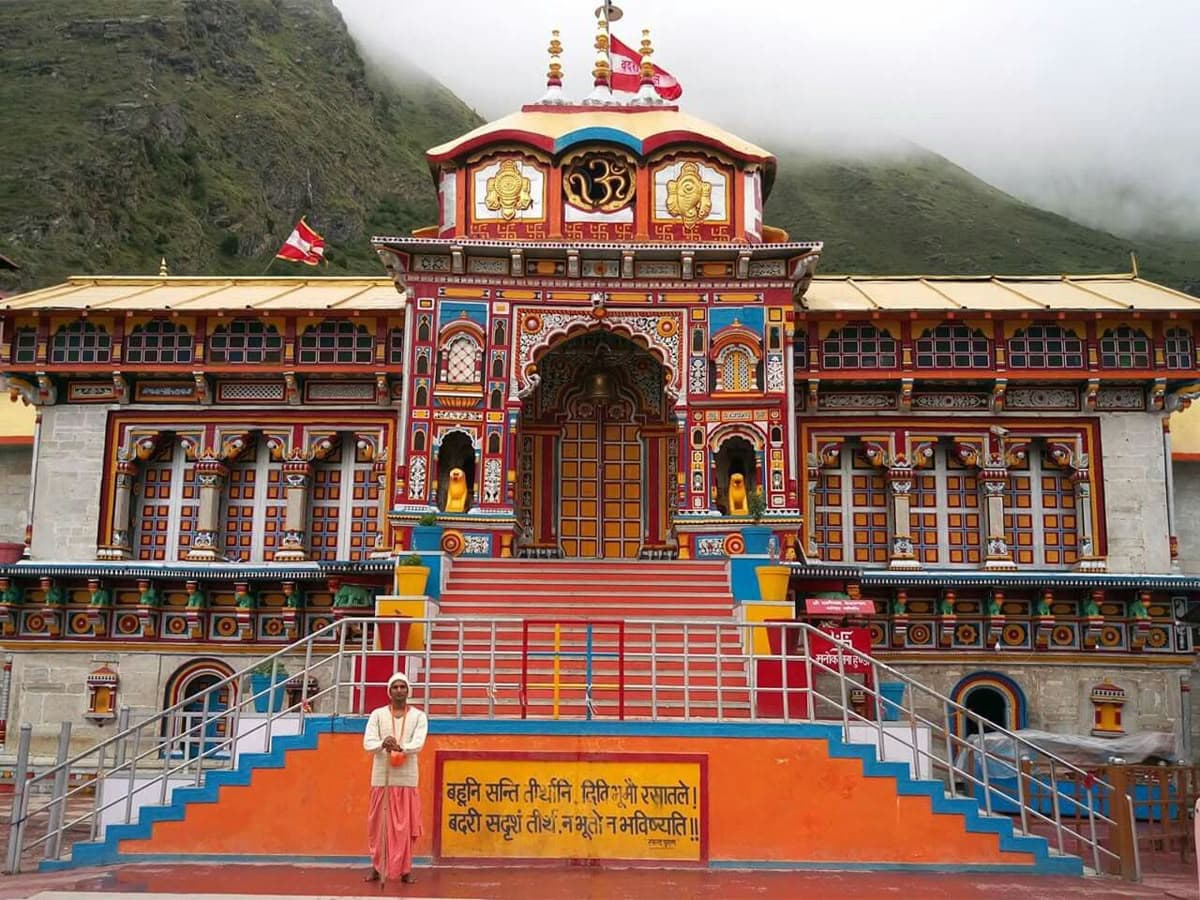
8-9 hrs · 215 kmDown the Mandakini to Rudraprayag, then up the Alaknanda through Karnaprayag, Chamoli and Joshimath on the Badrinath road. The last stretch above Joshimath is slow and spectacular. Badrinath is at 3,300 metres.
Halt: Night: Badrinath
- km1065Local
Day 9: Badrinath and Mana
Local day · 10 kmThe temple at dawn, the Tapt Kund hot spring below it, and Mana village 3 km on — the last village before the Tibet border, with the Vyas and Bhim Pul caves. Neelkanth stands directly above all of it.
Halt: Night: Badrinath
- km1075Descent
Day 10: Badrinath to Rudraprayag via Joshimath
6 hrs · 165 kmBack down the Alaknanda. Joshimath and the Narsingh temple on the way, where the Badrinath deity winters, and Vishnuprayag and Nandprayag confluences. Those with a spare day add Auli from Joshimath, 15 km and a ropeway above it.
Halt: Night: Rudraprayag
- km1240
 Devprayag
Day 11: Rudraprayag to Rishikesh
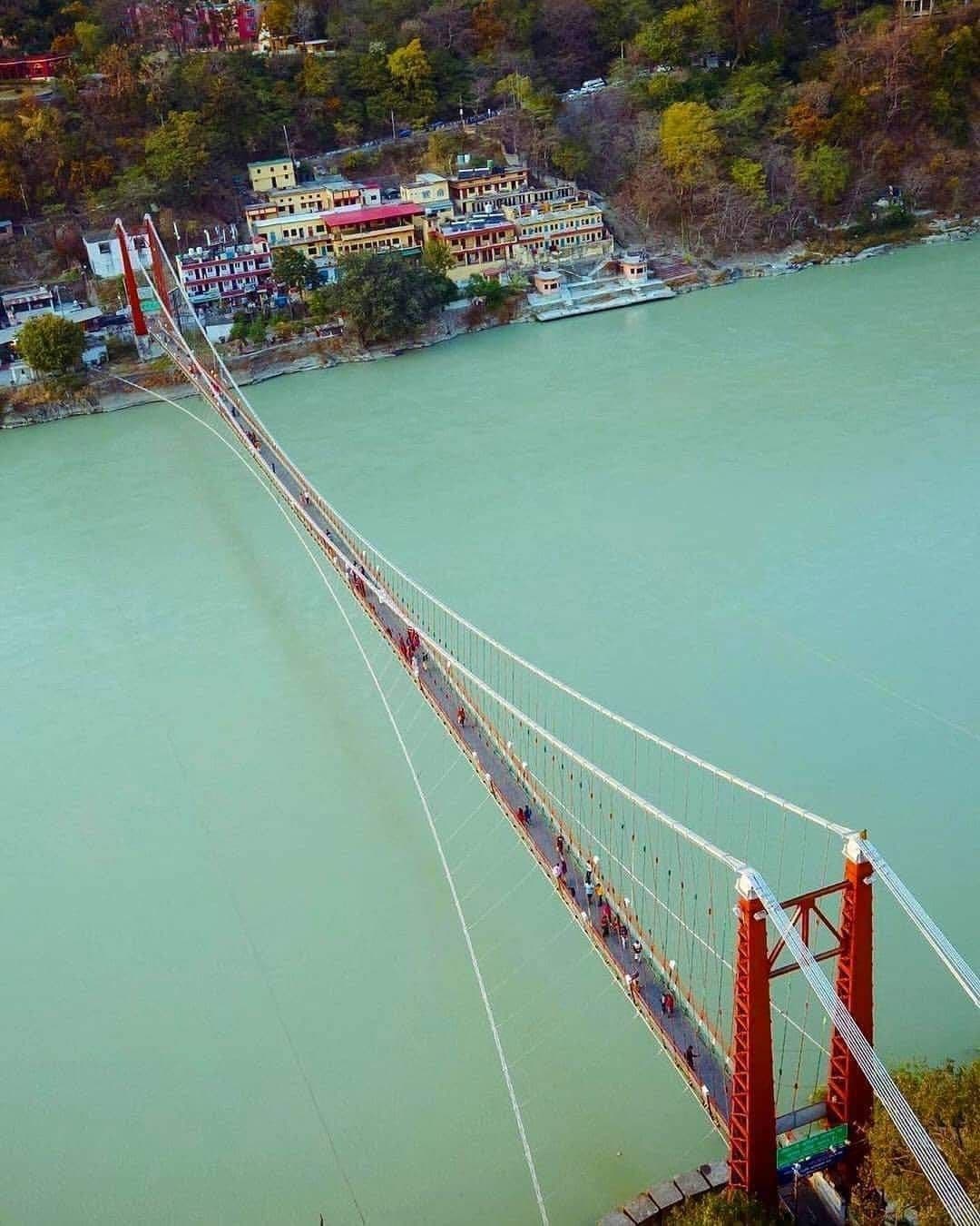
4 hrs · 140 kmDown to Devprayag, where the Bhagirathi and Alaknanda meet and become the Ganga in visibly different colours, then on to Rishikesh. An easy day after ten hard ones, and the confluence is the right place to finish a yatra.
Halt: Night: Rishikesh
- km1380
 End
EndDay 12: Rishikesh to Haridwar
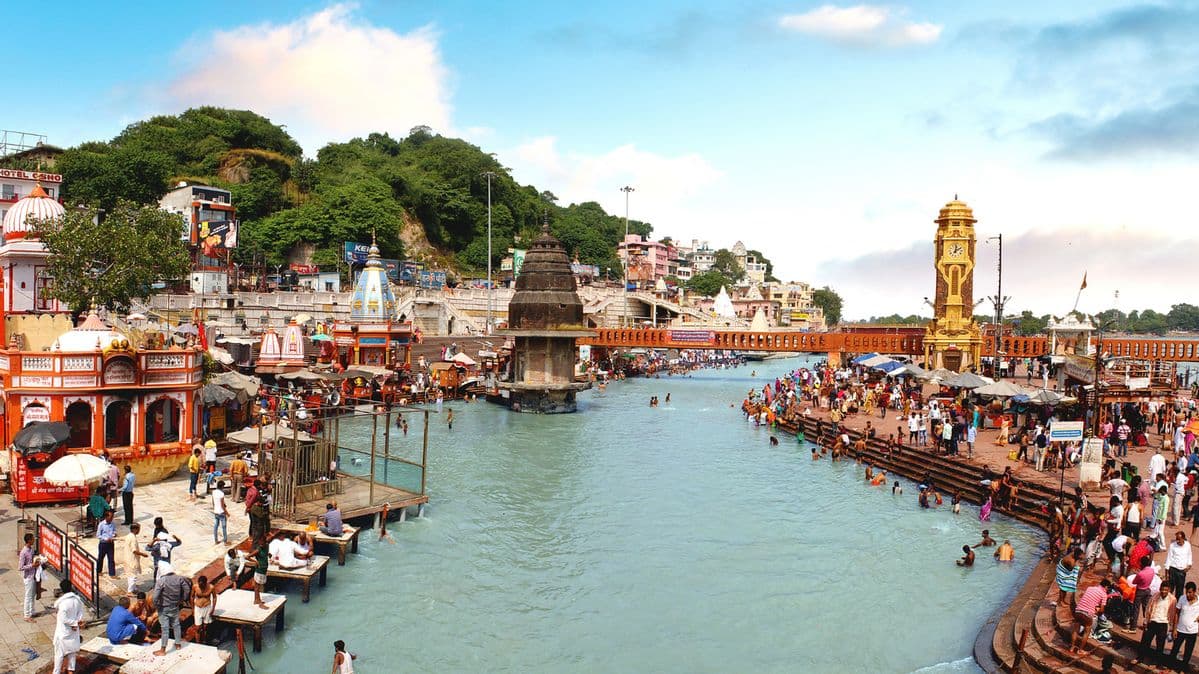
1 hr · 25 kmHar ki Pauri and the Ganga aarti to close, 25 km down the road. Those continuing to Delhi add 230 km and five hours from Haridwar.
Halt: Haridwar
The four shrines: road, walk, altitude and season
This is the table to read before planning anything else. Two of the four shrines cannot be reached by vehicle, and the walk at Kedarnath is a different order of effort from the one at Yamunotri.
| Shrine | Road reaches | Walk | Altitude | Open | What to know |
|---|---|---|---|---|---|
| Yamunotri | Jankichatti | 6 km | 3,293 m | May–Oct | Two to three hours up; ponies and palanquins at the trailhead |
| Gangotri | The temple | None | 3,100 m | May–Oct | The only shrine with road right to the door |
| Kedarnath | Gaurikund | 16 km | 3,583 m | May–Oct | Six to eight hours up, 1,500 m gain; helicopter from Phata or Sersi |
| Badrinath | The temple | None | 3,300 m | May–Oct | Mana village and the Tibet border 3 km beyond |
Opening dates are set each year — around Akshaya Tritiya in late April or early May for Yamunotri and Gangotri, with Kedarnath and Badrinath a few days later, and closing around Diwali. Fares for the twelve days: Sedan ₹39,600, Ertiga ₹54,000, Innova Crysta ₹64,800, 12-seater Tempo Traveller ₹82,800. Tolls, parking, Uttarakhand entry and the driver night allowance at actual.
The order
Why west to east, and why it is not just tradition
The traditional order is Yamunotri, Gangotri, Kedarnath, Badrinath, and it happens to be the order the roads support. The four shrines sit in three separate river valleys — the Yamuna, the Bhagirathi and then the Mandakini and Alaknanda — and each valley is entered from the plain rather than from its neighbour. There is no high road linking them.
That means every transition between shrines involves coming partly down one valley and going up the next, which is why days five and eight are eight to nine hours each. Doing the circuit in any other order does not avoid those descents; it just rearranges them, usually worse.
The practical argument for west to east is the walking. Yamunotri’s 6 km comes on day two while everyone is fresh, and Kedarnath’s 16 km comes on day six when the party has acclimatised to five days of altitude. Reversing it puts the hardest walk on day two at 3,583 metres, which is how people end up turning back at Rambara.
KedarnathKedarnath
Walk, pony or helicopter — and the honest comparison
Walking is 16 km from Gaurikund with a 1,500 metre gain, six to eight hours up for a reasonably fit adult and four to six down. It is a paved track the whole way with tea stalls and rest points, not a technical trek, but the altitude and the continuous gradient defeat a lot of people who expected a temple visit rather than a mountain day. Two days should be allowed: up on one, down the next.
Ponies and porters are available at Gaurikund and are the standard choice for older pilgrims. A pony covers the distance in four to five hours and the rider still has to manage the altitude. Palanquins carried by four bearers are the option for those who cannot sit a pony.
The helicopter flies from Phata, Sersi or Guptkashi and lands at the Kedarnath helipad, a few hundred metres from the temple. It takes minutes rather than days, it is booked separately and well ahead, and it is weather-dependent — flights are grounded regularly and a booking is not a guarantee. A great many families use it for the ascent and walk down, which is the arrangement we see most often. If the flight is cancelled, the walk is still there; plan the days so that is survivable rather than trip-ending.
The season
When the roads and the temples are actually open
The shrines open around Akshaya Tritiya, which falls in late April or early May, and close around Diwali in late October or November. Exact dates are announced each year and differ by a few days between the four. Outside that window the temples are shut and the deities are at their winter seats — Yamunotri’s at Kharsali, Gangotri’s at Mukhba, Kedarnath’s at Ukhimath and Badrinath’s at Joshimath, all of which can be visited by road in winter.
Within the season there are two distinct halves. May and June are the busiest, with the heaviest pilgrim volume of the year and long queues at Kedarnath and Badrinath. September and October are quieter, clearer and in most ways better, with the caveat that the weather turns earlier at altitude.
July and August are the monsoon, and this is the one circuit on the site where we would advise against travelling in it rather than merely noting the risk. The Alaknanda and Mandakini gorge roads carry serious landslide exposure, closures of several hours or days are common, and the Kedarnath trail is genuinely dangerous in heavy rain. The yatra runs through it and people do travel; we would not plan it that way.
The variations
Do Dham in seven days, and what twelve days of Char Dham really asks of you
If twelve days is too long, the usual answer is Do Dham — Kedarnath and Badrinath only, which are the two most visited and sit in adjacent valleys. Seven days from Haridwar covers both comfortably including the Kedarnath walk, and about 950 km of driving. Yamunotri and Gangotri are the ones dropped, which is a real loss but a coherent trip.
The other reduction is Char Dham by helicopter, which does all four in a single long day or two from Dehradun and is an entirely different proposition — no driving, no walking, and very little of the valleys. It suits those for whom the walking is not possible.
What twelve days asks of you is worth stating plainly: roughly 1,600 km on hill roads, two walk days of which one is a serious mountain day, eight nights above 1,500 metres and two above 3,000, and two driving days of eight to nine hours. It is a demanding trip and the commonest mistake is to plan it as a temple tour rather than as a Himalayan one.
Three things the drivers would tell you
Register before you travel
Uttarakhand requires yatra registration for Char Dham pilgrims and it is checked on the route. Do it before setting out; the counters at Haridwar and Rishikesh are slower in May and June than the website is.
Two days for Kedarnath, not one
Sixteen kilometres up and sixteen down with a 1,500 metre gain is not a single day for most people. Build the night at Kedarnath into the plan rather than discovering you need it at Rambara.
The helicopter is weather-dependent
Flights to Kedarnath are grounded regularly and a booking is not a guarantee. Plan the days so a cancellation means walking rather than missing the shrine.
Altitude is cumulative
Eight of the twelve nights are above 1,500 metres and two above 3,000. Drink more water than feels necessary, go slowly on the first day at Kedarnath and Badrinath, and tell the driver if anyone feels unwell — descending 500 metres fixes most of it.
Carry cash and warm clothes
Card acceptance above Uttarkashi and Guptkashi is patchy, and Kedarnath and Badrinath are cold at any point in the season. The temperature difference between Haridwar on day one and Kedarnath on day six is around twenty degrees.
Questions people ask
Frequently asked questions
Our team is here to help. Contact us for personalized assistance.
Where to go next