Spiti is a high cold desert in Himachal with Kaza as its main town at about 3,800 m. There are two ways in and the choice matters more than anything else in planning: the Shimla route via Kinnaur is open most of the year and climbs gradually, while the Manali route over Kunzum La at 4,590 m is shorter, far more dramatic and open only from roughly June to October. Spiti needs seven to ten days to do properly and the gradual Shimla approach is the one that avoids altitude sickness.
The two routes, and why the choice decides your trip
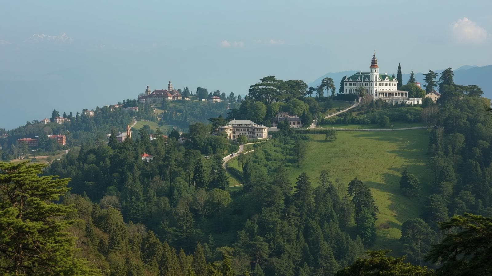
The Shimla route runs Shimla–Narkanda–Rampur–Kinnaur–Nako–Tabo–Kaza. It follows the Sutlej then the Spiti river, climbs steadily over three or four days, and is open for most of the year barring heavy snow. Because the altitude gain is gradual, travellers arrive in Kaza acclimatised.
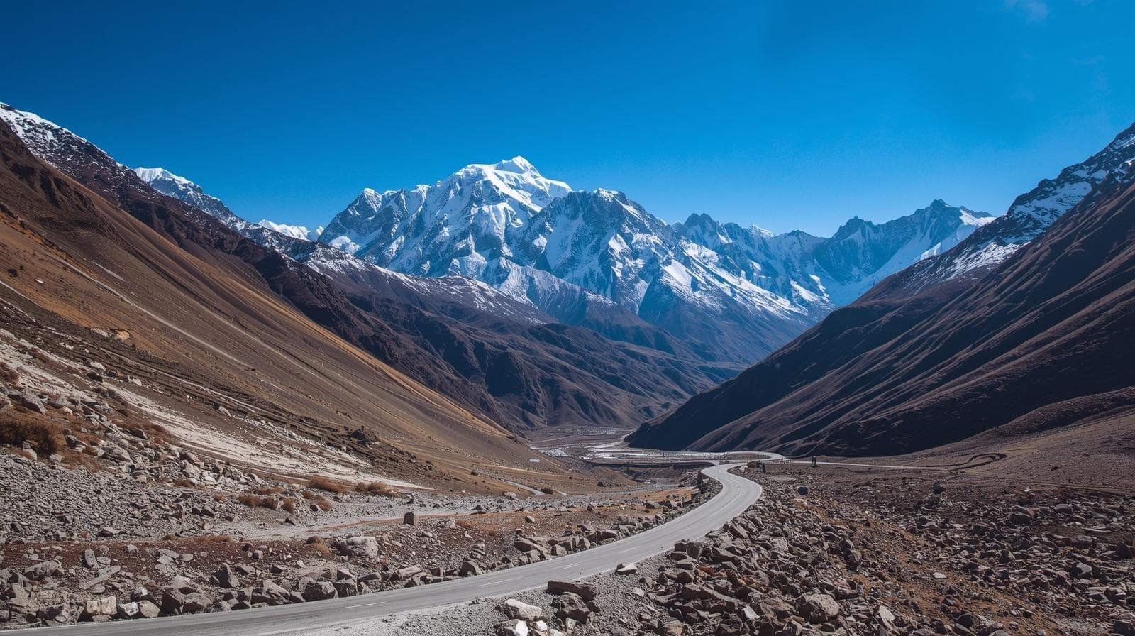
The Manali route crosses Rohtang and then Kunzum La at 4,590 m into the Spiti valley from the west. It is shorter and the landscape is extraordinary, but it takes you from 2,000 m to 4,590 m in a single day, and it is only open roughly June to October once the snow is cleared.
The arrangement most experienced travellers use is in via Shimla, out via Manali — gradual ascent going in, the spectacular crossing on the way out when you are already acclimatised, and no backtracking. If the Manali side is closed, in and out via Shimla is the only option and is entirely fine.
| Shimla route | Manali route | |
|---|---|---|
| Open | Most of the year | About June to October |
| Days to Kaza | Three to four | One to two |
| Altitude gain | Gradual — the safe option | Abrupt — 2,000 m to 4,590 m in a day |
| Highest point | Nako and the Kinnaur road | Kunzum La, 4,590 m |
| Road | Long, exposed in Kinnaur | Rougher, river crossings, Rohtang traffic |
The altitude problem
Kaza sits at about 3,800 m and the villages above it are higher — Komic and Langza are near 4,500 m. This is Ladakh territory in terms of altitude, and the same rules apply: ascend gradually where possible, rest on arrival, drink steadily, avoid alcohol for the first days.
Travellers who ride in from Manali in a day and immediately drive up to Komic are the ones who get ill. Spiti has very limited medical facilities — a small hospital in Kaza and essentially nothing beyond it — and evacuation means a long drive on mountain roads. The margin for error is smaller than in Ladakh, where Leh has a proper hospital and flights.
Key Monastery and the gompas
Key Gompa is the image most people have of Spiti: a thousand-year-old monastery stacked up a conical hill above the Spiti river, looking more like a fortress than a temple, which is what repeated raids made it. It is the largest monastery in the valley and still a working teaching centre with monks in residence. Visitors are welcome and the prayer hall, the old murals and the roof view are all open.
Tabo, further down the valley, is older — founded in 996 AD — and is architecturally the opposite: low mud-brick structures on the valley floor, unremarkable from outside, with some of the finest early Buddhist wall paintings in the Himalaya inside. It is often called the Ajanta of the Himalayas and photography inside is not permitted.
Dhankar is the dramatic one, perched on a crumbling spur between the Spiti and Pin rivers, slowly being abandoned as the rock gives way. A short steep walk above it leads to Dhankar Lake.
The villages, and Chandratal
Above Kaza sit a cluster of villages that claim various records: Komic as among the highest villages with a motorable road, Hikkim with the highest post office in the world where you can post a letter, and Langza with its large Buddha statue and fields full of marine fossils from when this was the Tethys seabed.
Chandratal — moon lake — is a crescent-shaped lake at about 4,300 m near Kunzum La, and is reached only when the Manali side is open. Camping there is restricted and camps sit a short walk from the lake rather than on its shore. It is cold, exposed and one of the more beautiful places in the Himalaya.
When to go
June to September is the full season with both routes open. October is clear and cold with Kunzum closing. November to May the Manali side is shut and Spiti is reachable only via Shimla — the valley becomes extremely cold, many guesthouses close, and winter Spiti is a serious undertaking for well-prepared travellers rather than a holiday.
Monsoon affects the Kinnaur section of the Shimla route badly, with landslides a regular cause of long delays in July and August.
Getting there
From Shimla to Kaza is roughly 420 km but three to four days of driving because the road demands it. From Manali it is about 200 km but crosses Kunzum La and is a hard full day when open.
Fuel is the planning constraint: the pump at Kaza is the only reliable one in the valley, and the gap from Rampur on the Shimla side is long. Mobile coverage is BSNL-only in most of the valley. Carry cash — the ATM in Kaza is frequently out of service.
Questions people ask
Which route into Spiti should I take?
In via Shimla, out via Manali if both are open. The Shimla side ascends gradually and prevents altitude sickness; the Manali side is shorter and more dramatic but takes you to 4,590 m in a day.
How many days does Spiti need?
Seven to ten including the drive in and out. Fewer than that means either rushing the valley or ascending too fast.
Is Spiti open in winter?
Only via the Shimla route, and it becomes a serious cold-weather expedition rather than a holiday. Kunzum La and the Manali approach are closed from around November to June.
Is Spiti harder than Ladakh?
In some ways yes. Similar altitudes but far less infrastructure, limited medical facilities and no airport, so the margin for error is smaller.